OVERVIEW
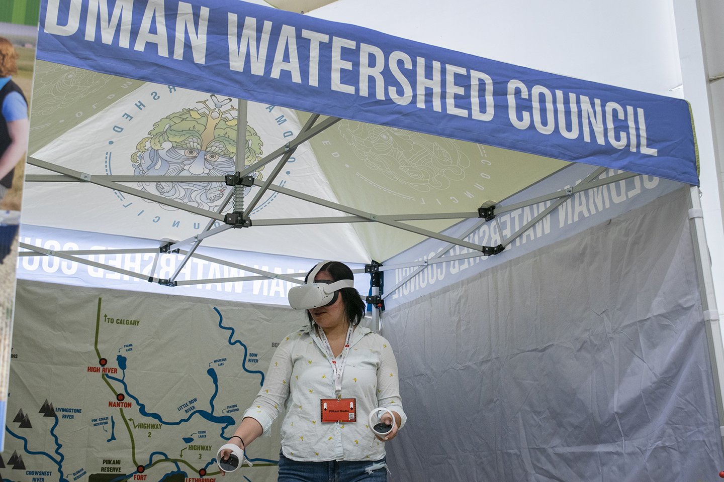
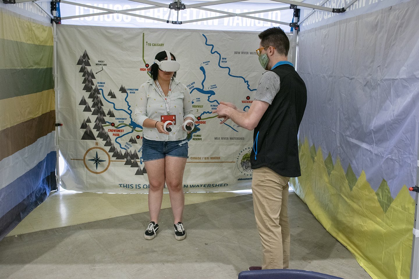
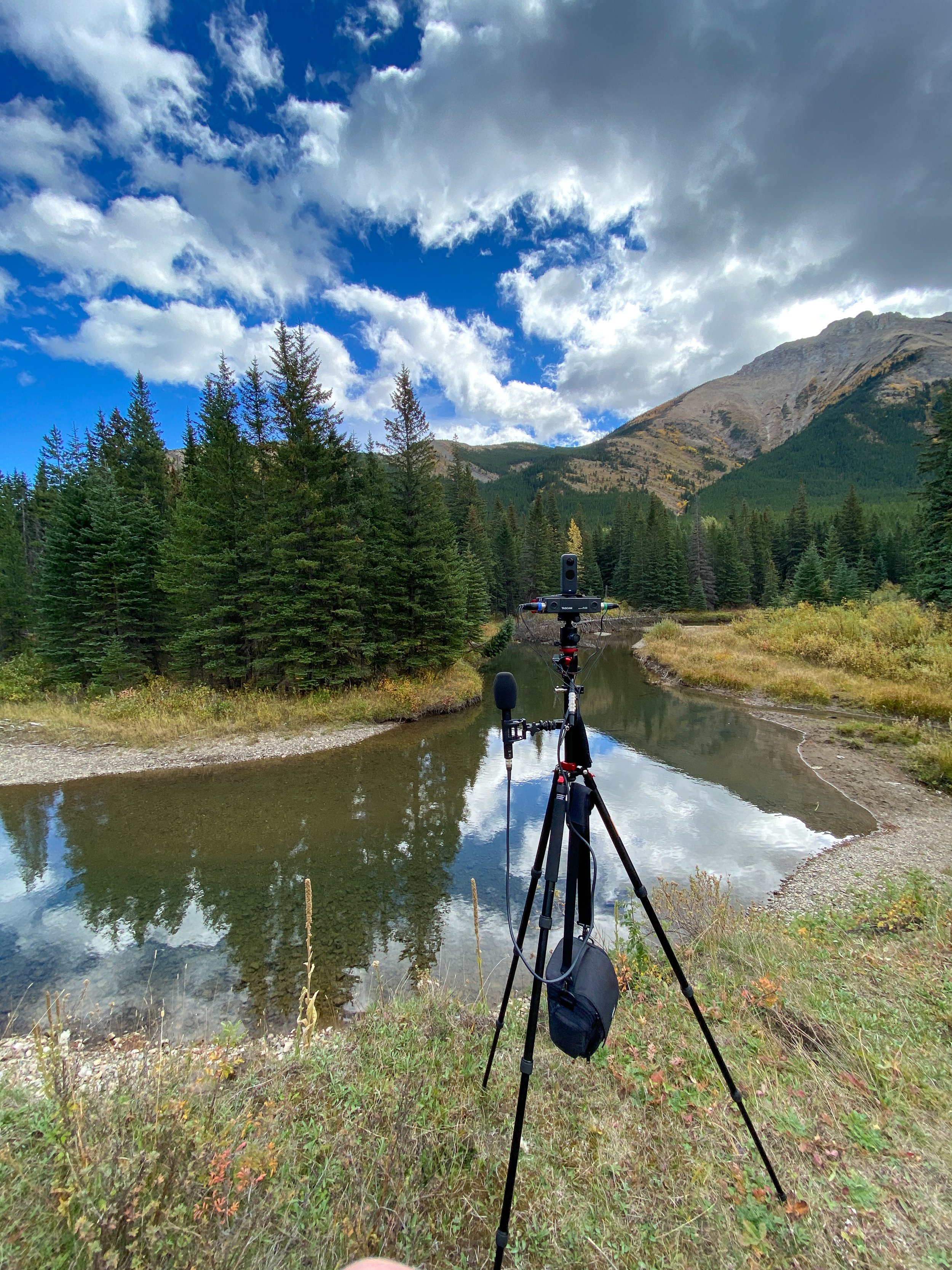
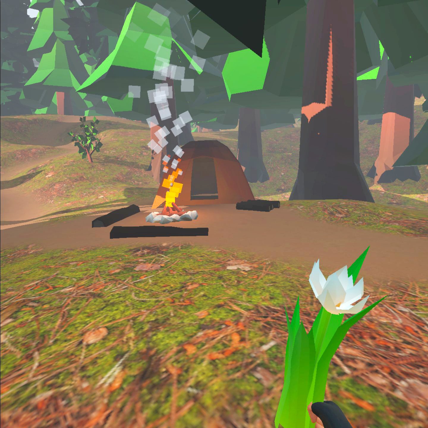
The Oldman Watershed Council (OWC) has created a map capturing ambisonic sound and 360 degree video at various sites across the watershed, including popular recreation areas. This ambisonic captures map lets users explore sites in an interactive environment. Check out the platform at OWCmap.ca.

What’s being done
Captures of sites such as random‑camping spots, motorized trails, a bridge crossing, and a non‑motorized multi‑use trail were taken during summer, fall, and winter, underscoring Albertans’ year‑round love for public lands. The map’s core library is live and accessible so educators, watershed enthusiasts, and residents can explore areas of the watershed at any time.
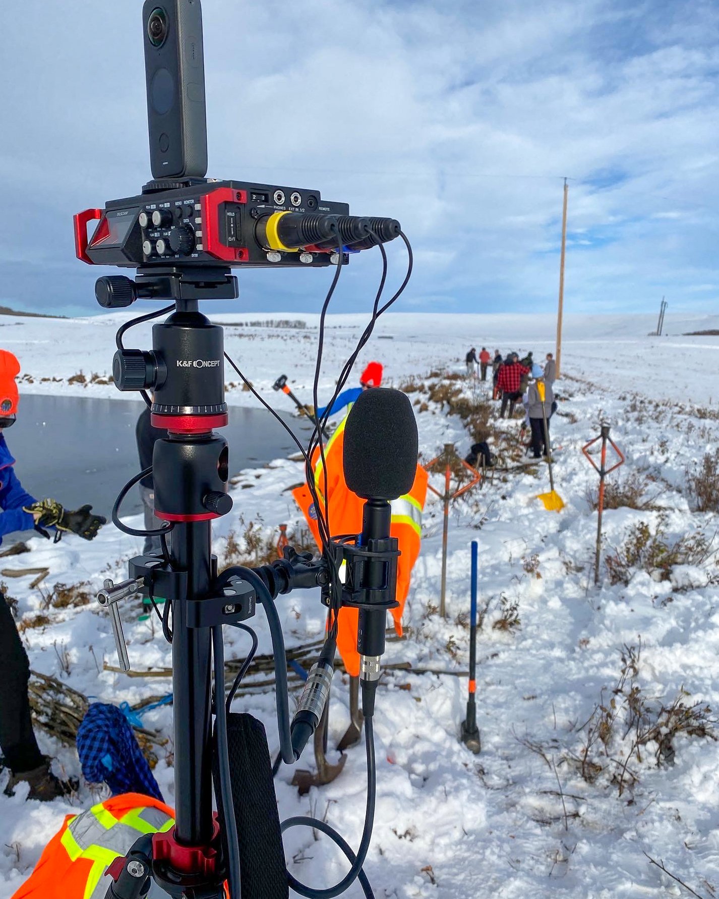
This technology is also being used to monitor the success of restoration projects. The OWC is capturing immersive scenes at project sites to create a detailed time series record of change. The goal is to develop a practical, multimedia standard that complements traditional measurements and helps future OWC staff, and the public, see and hear how restoration work improves land and water over time.
Supporters, funders, & partners
The core work of this project was possible in part through the RBC Foundation’s Tech for Nature program.