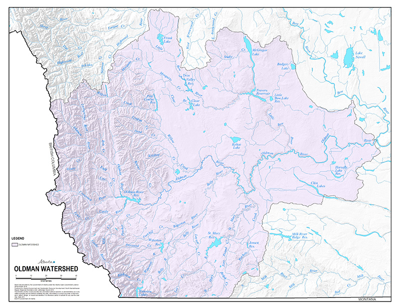
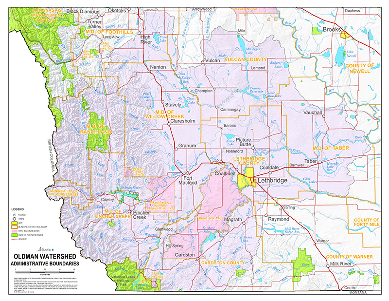
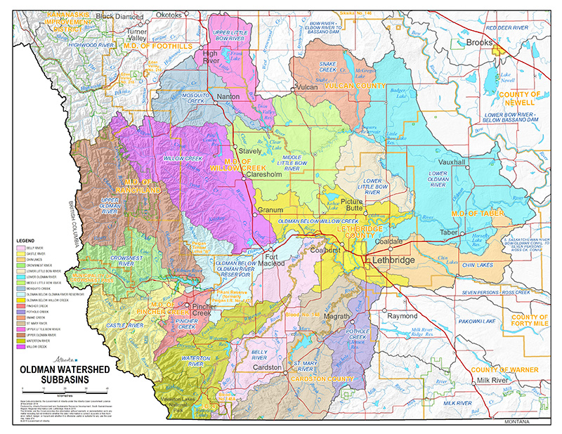
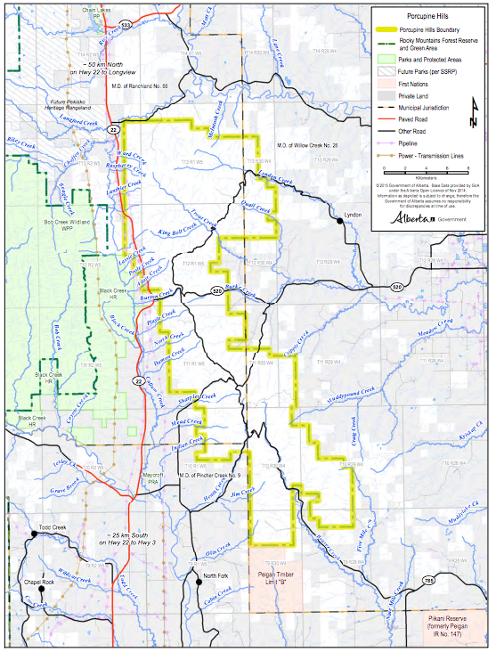
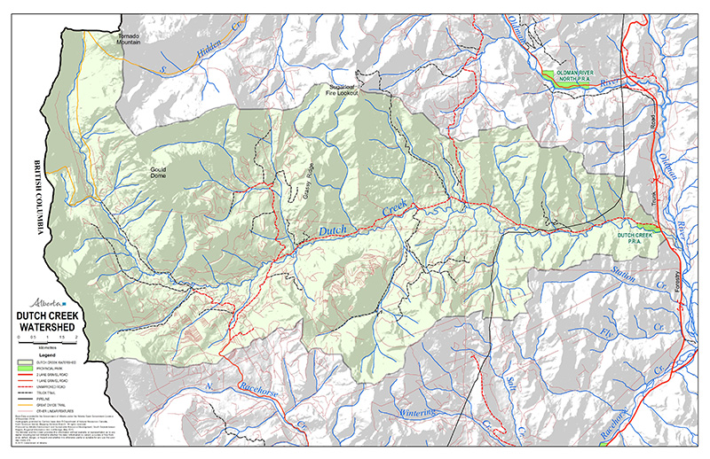
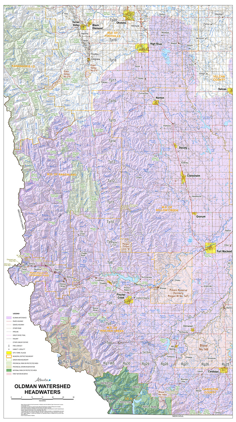
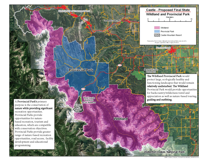
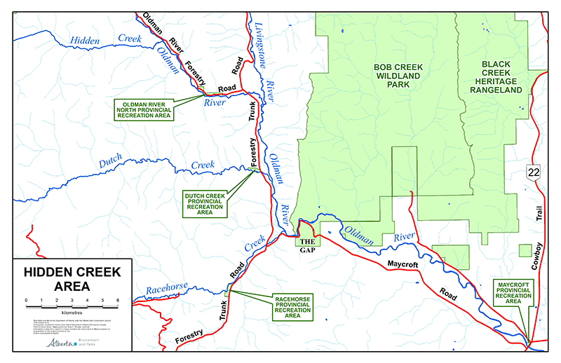
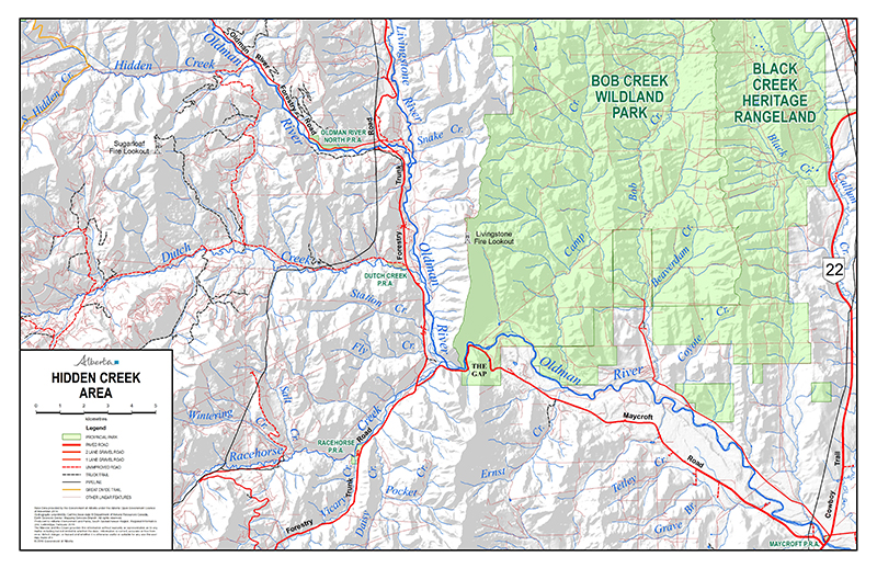
Current Maps
Time lapse: Historic and Future Land Use in the Oldman Watershed 11,000 BP - 2060
Maps by Anna Garleff and Karen Manuel Copyright Oldman Watershed Council 2016
For more information, please see the Historical Timeline Overview.
Maps designed by Anna Garleff unless otherwise noted.
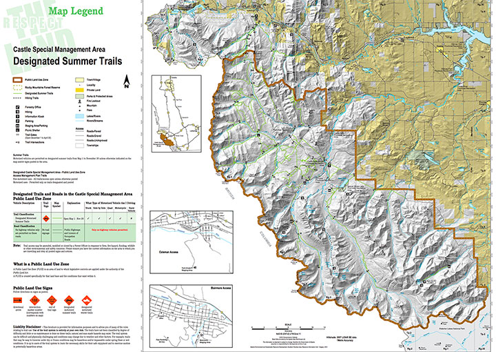
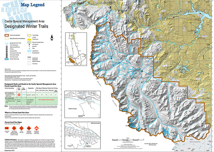
Cartography by Blair Watke, Government of Alberta

Designed by Anna Garleff / Created by Jayme Javier


Food Maps
Maps by Chinook Food Connect
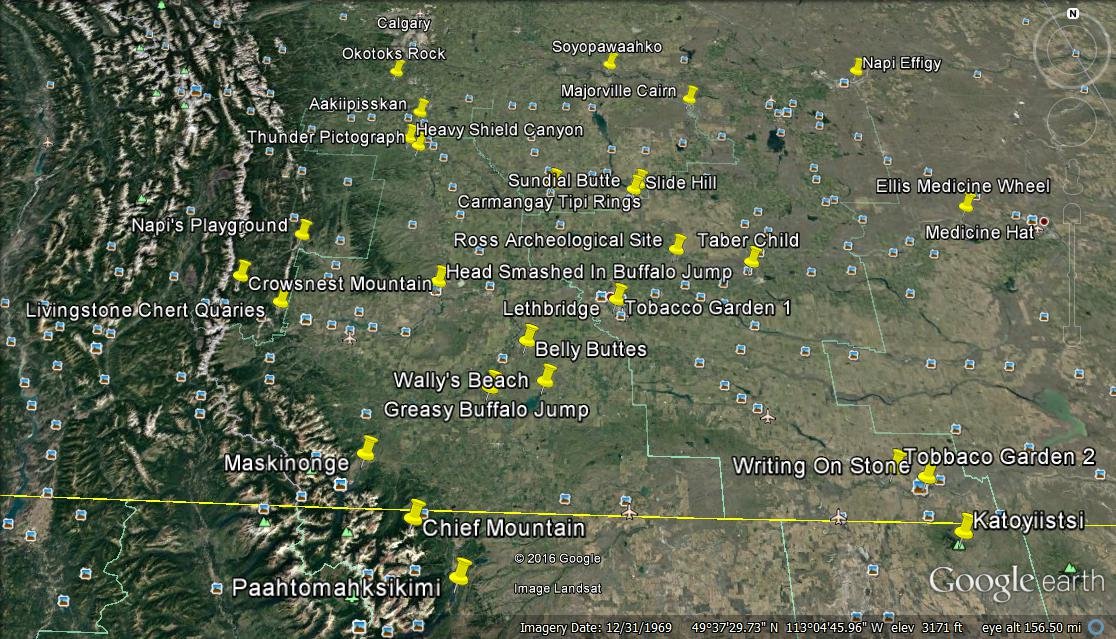
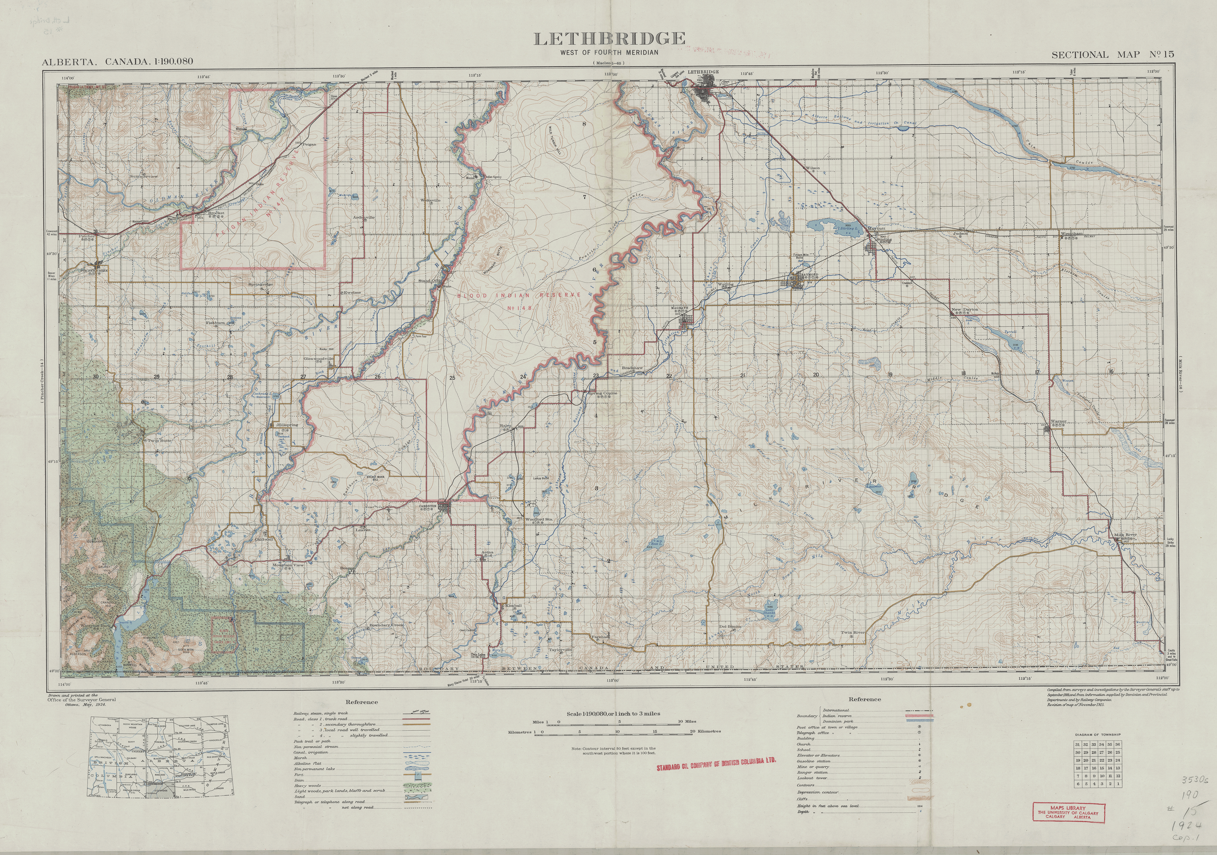
Historical Maps


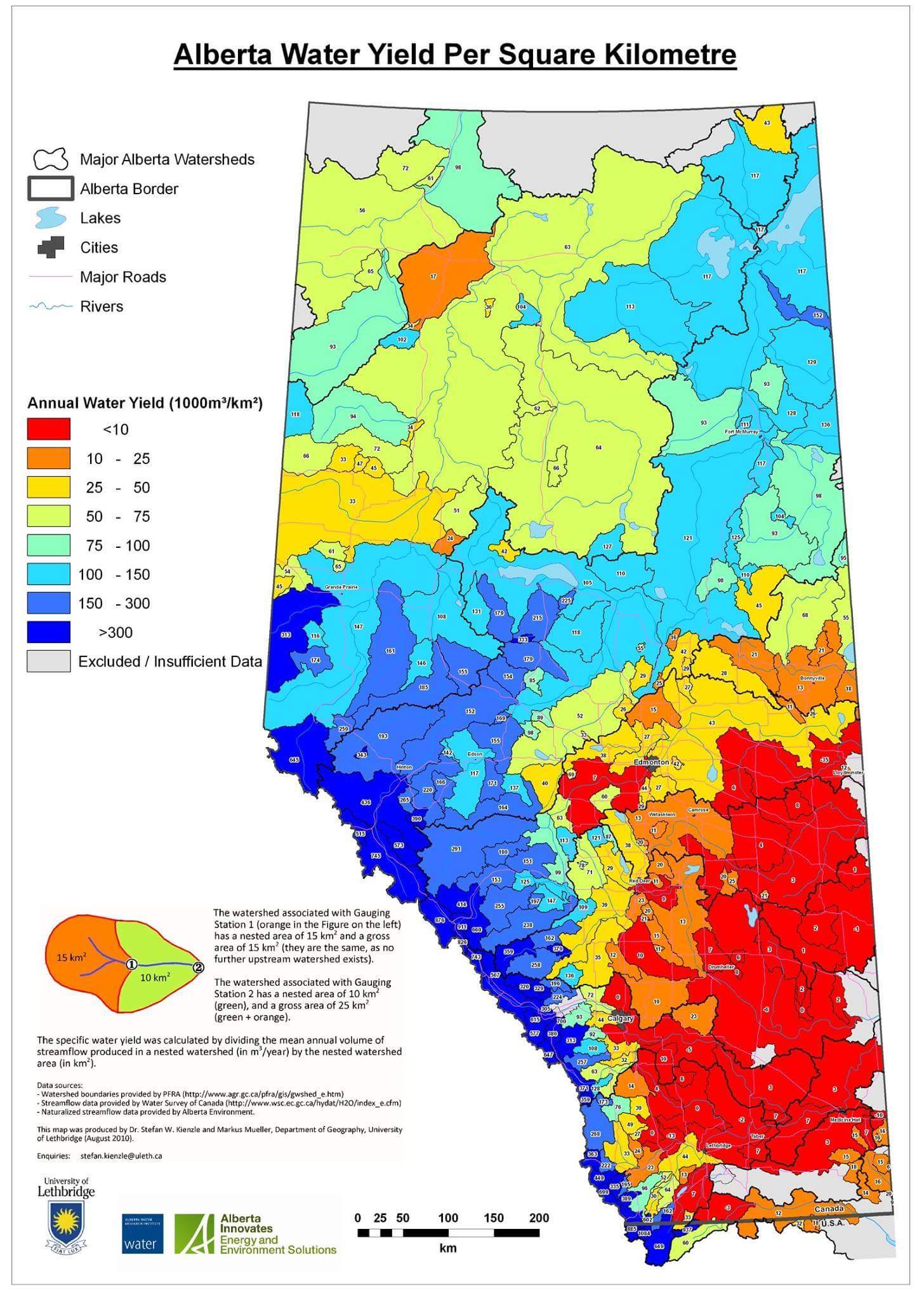
Climate Maps

The history of climate in Alberta and effects of climate change on Alberta’s watersheds
Map graphic: Retreat of the Laurentide Ice Sheet (LIS) and Cordilleran Ice Sheets (CIS) from North America at the end of the last glaciation, approximately 16,500 years ago. Source: (Hickin, Lian, Levson, & Cui, 2015)


SEE: Effects of Changing Climate, (2014) by Christine Clark based on the paper Climate Change Impacts on Canada’s Prairie Provinces: A Summary of Our State of Knowledge (2009)
World Maps


Please note Canada has a ranking of 96 out of 168 countries - we are also at risk.
We must also consider how best to share water resources in the upcoming decades.

The human footprint map measures the cumulative impact of direct pressures on nature from human activities. Visit at http://wcshumanfootprint.org
Other Maps
Oldman Watershed Priority Mapping Report & Maps - Courtesy of Southern Alberta Land Trust Society (SALTS).