The Oldman Watershed Basin. View More Maps >
The Oldman watershed is a large, diverse land and water system in southern Alberta, covering 23,000 km² in southwestern Alberta and 2100 km² in Montana.
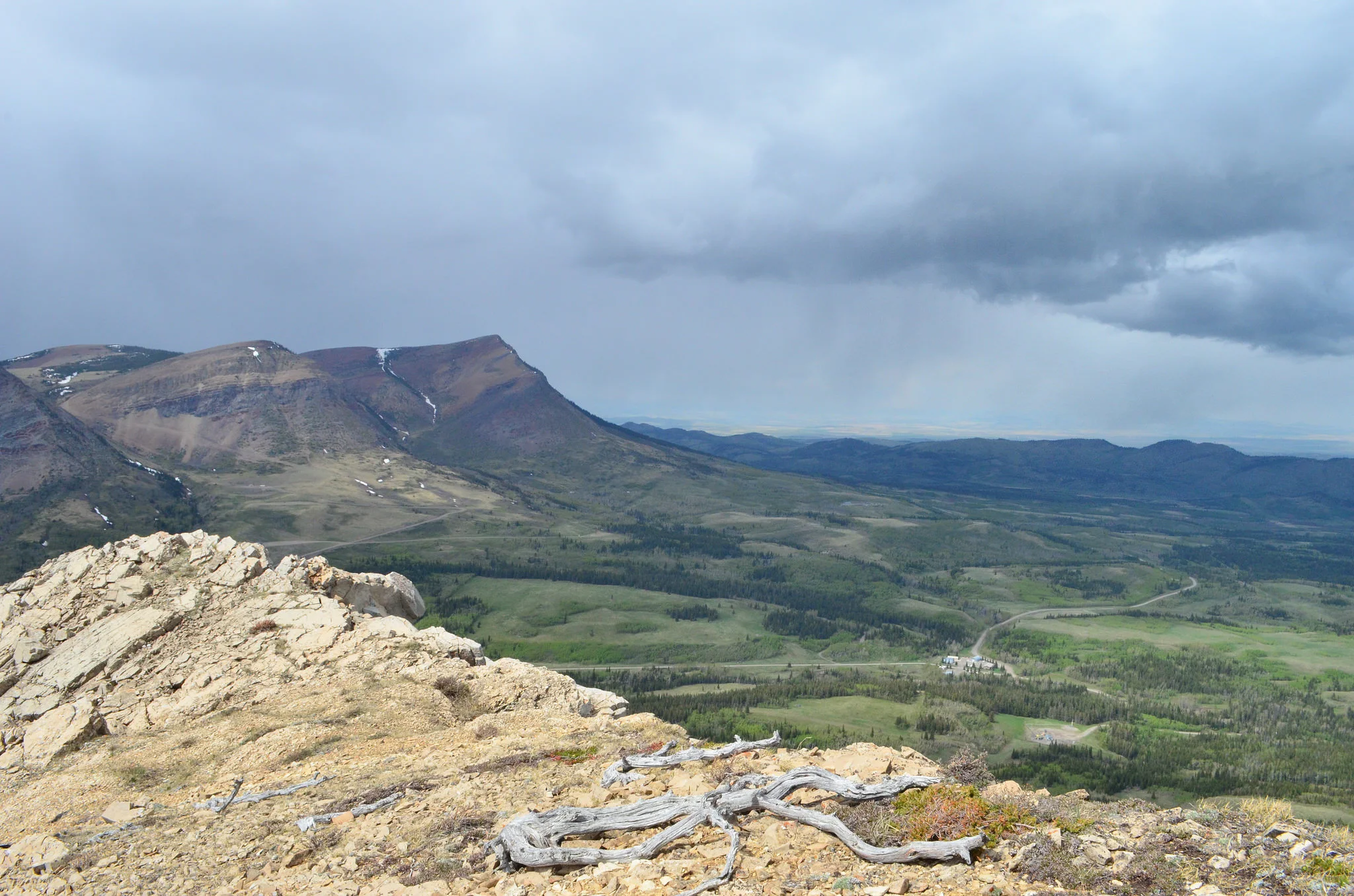
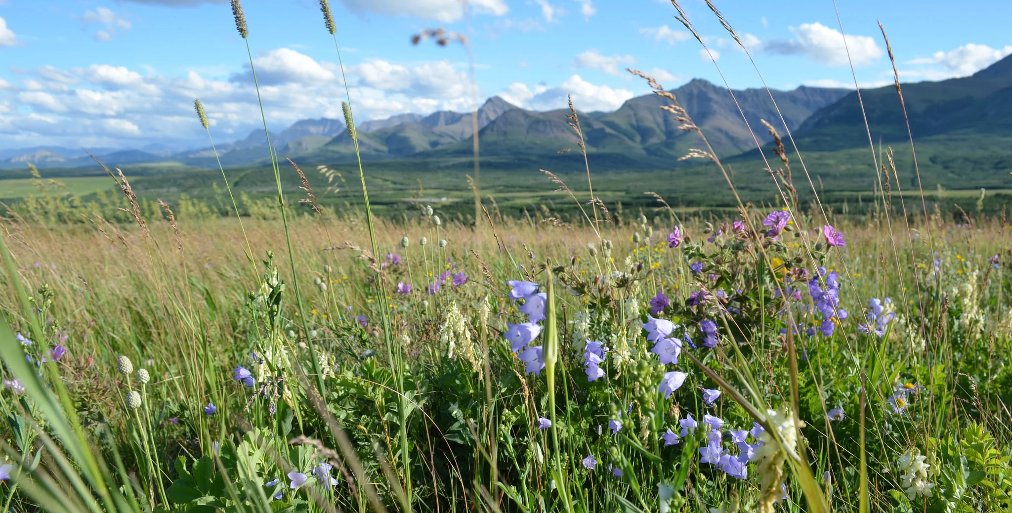
It extends eastward from the forested slopes of the Rocky Mountains, through rangelands in the foothills, dryland and irrigated agricultural plains, to the prairie grasslands.
The Rocky Mountains feed the headwaters of the Oldman mainstream and its tributaries (Crowsnest and Castle rivers, Willow and Pincher creeks), while the headwaters of the Belly, Waterton, and St. Mary rivers rise in Montana. The watershed varies greatly in terms of the status of the land and water resources and the impacts of human activities. In headwater sub-basins, water quantity is adequate, quality is fair to good, and riparian ecosystems are generally healthy. However, as the Oldman River flows east, water quality deteriorates, available water supplies diminish, and there are several issues of concern.
Whose watershed?
There are approximately 210,000 residents living in the Oldman watershed
The Oldman watershed is part of the South Saskatchewan River Basin, which also includes the Red Deer, Bow, and Saskatchewan River watersheds. The South Saskatchewan Region of Alberta (including the South Saskatchewan & Milk River watersheds, and the Alberta portion of Cypress Hills) is home to about 1.8 million people (Source: South Saskatchewan Regional Plan 2014-2024, p. 9).
The larger watershed is called the Saskatchewan River Basin, which covers parts of Alberta, Saskatchewan, and Manitoba, and is home to about 3 million residents (Source: Saskatchewan River Basin Map).
That's a lot of people downstream from us!
Explore

Further Learning

"The Oldman River Basin"
By Kevin Van Tighem
Chapter 1 in Coming West: A Natural History of Home (1997)

What's a Watershed?
Visit Alberta Water Portal for more info about Alberta Watersheds.