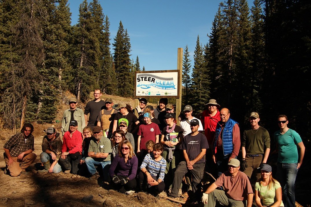
by Outreach Assistant Randy Paquette
On July 9, 2021, the OWC’s Outreach Assistants and the Education Program Manager headed out to the Crowsnest Pass to receive training from fRI Research on the Alberta Watercourse Crossing Inventory (AbWCI) application.
“Watercourse crossings can fragment fish habitats and impact water quality. A watercourse crossing is any linear disturbance, be it road or trail, that intersects a stream. Stream fords and poorly installed or maintained structures such as culverts can change the stream channel, devegetate banks, slow down the water allowing it to warm and decrease concentrations of dissolved oxygen, transport large amounts of sediment downstream smothering fish nurseries and removing habitat for aquatic invertebrates.”
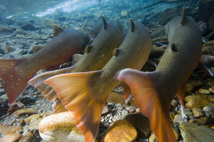
Sedimentation, the buildup of dirt and materials from surface runoff that are deposited in the water, poses a problem for native fish species found in our headwaters. Westslope cutthroat trout and bull trout, native fish species in our headwaters, are listed as ‘Threatened’ by the Committee on the Status of Endangered Wildlife in Canada (COSEWIC). They rely on clean water in order to survive and reproduce; sediment presents a risk to their populations. More on how sedimentation affects fish and their habitat can be found here.
About the app

The Alberta Watercourse Crossing Inventory (AbWCI) is a free application provided by Alberta Environment and Parks that is used to report and document waterbody crossings (bridges, culverts, fords, etc) throughout Alberta. Part of the Watercourse Crossing Program (which helps fish habitat disturbed by intersections of roads and water), the purpose of the app is for the user to inspect and collect information that can help to prioritize crossings for remediation efforts. The app helps to obtain data on the type and condition of the watercourse crossing along with road erosion and sediment problems.
Once the data are compiled, remediation efforts (fixing to reduce environmental damage) through the program may be arranged based on feedback collected within the app. Overall, the main goal is to improve crossings across Alberta to reduce sediment in streams.
Remediated crossings help to:
Improve threatened fish populations such as the westslope cutthroat trout and bull trout by allowing fish access to more habitat such a streams and rivers;
Reduce the amount of sediment going into streams and rivers to improve water quality and fish habitat;
Keep motorists and recreationists safe by improving infrastructure.
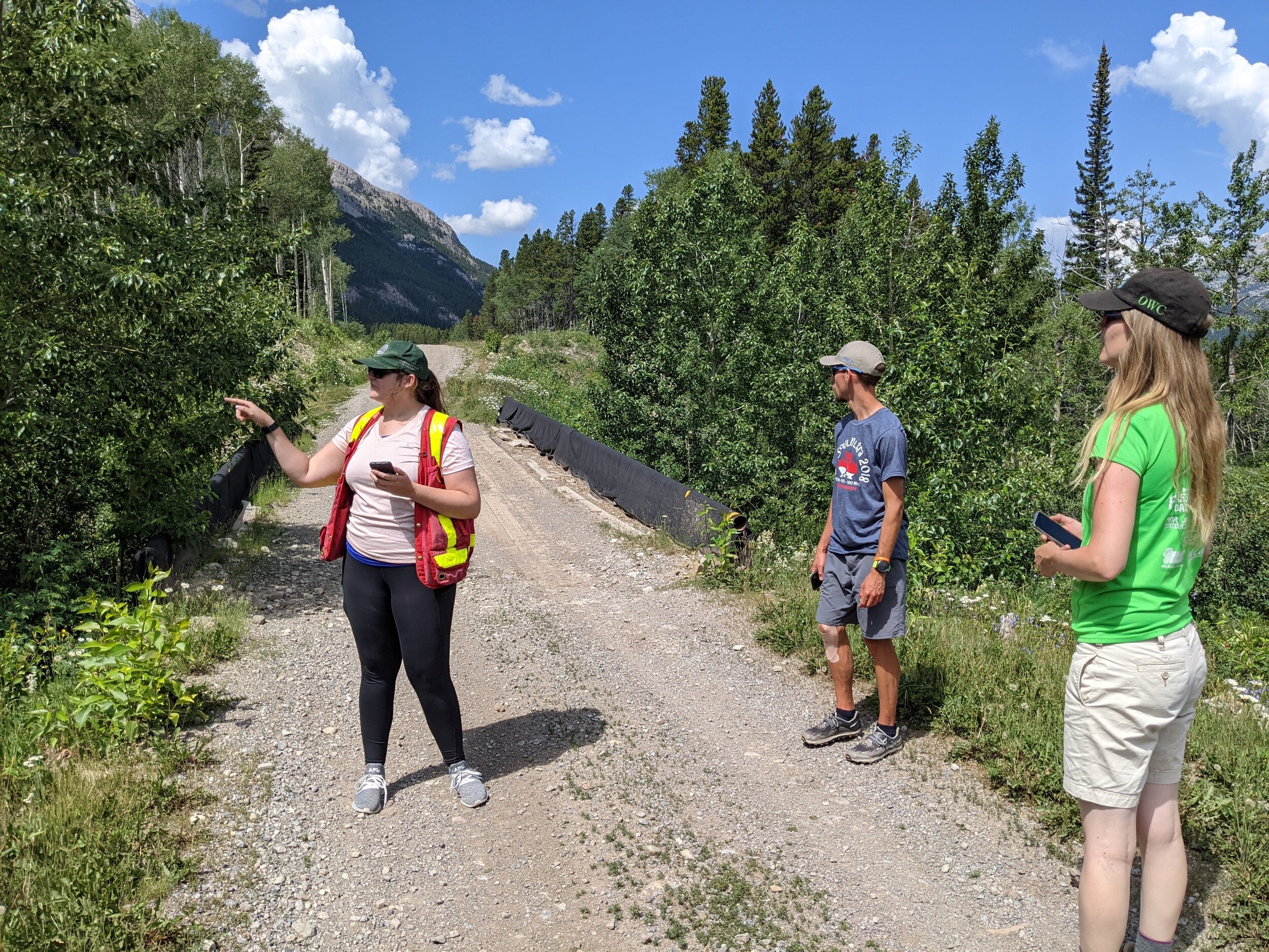
fRI Research, OWC’s Education Program Manager, and Outreach Assistants examining a bridge over a stream. Photo by Randy Paquette.
Basic observation skills required

The AbWCI mobile app can be downloaded from the Apple App Store and the Google Play Store for free.
The app is user friendly and intended for anyone to use, from whole organizations to OHV riders out on the trails to families out for a walk. Users fill out a simple survey for each crossing. The survey asks questions about the water crossing, such as the type of crossing (bridge, culvert, ford etc.), if there is evidence of erosion, and whether there are any structural problems with the crossing (i.e. evidence of damage in need of repair).

The main page of the AbWCI app where you fill in the fields based on the waterbody crossing that you are reporting.

Throughout the app, there are pictures and descriptions to help you answer the questions.
At the end of the survey, the app asks you to include several photos to provide context for your answers. Photos can include the stream, crossing, or other things that may contribute to sediment flowing into the waterbody. The more photos the better! Alberta Environment and Parks want to get the full picture of what the water crossings look like.

Caitlin from fRI Research training the OWC’s Education Program Manager and Outreach Assistants how to use the app. This location had a culvert below the road that had little evidence of sediment flowing into the stream. Photos by Randy Paquette.
The app requires an internet connection to download the app, sign up, and upload the data. Before you head out on your adventures, ensure that you have the app downloaded and that you are logged in. If you are in an area with no cell service, you can still make a submission. You can still fill in all of the questions as if you were in cell service. It is important to note that once you complete the survey, it is not yet uploaded to the online database. When you are back home or in range of cell service, you can upload your data by pressing the “triangle with a circle” button in the top right corner of your mobile device. Once you have uploaded the data, you are done and ready to complete more surveys in the future.
In addition to the app working offline, there is a handy GPS feature. If enabled, it gives your geographic coordinates so that your submission can be easily found on a map.
Contribute your data

Once you are back home, you can log in on your desktop browser and see all of the submissions that you made on a map, including all of the details that you have uploaded to the database. The more submissions you make, the more you contribute to the inventory of various water crossings found within Alberta.
For a full tutorial of the app and description of the program you can visit the Alberta Watercourse Crossing Program website.
The waterbody crossings need your help! The AbWCI app enables you to contribute to a reporting system on waterbody crossings so that you and others can continue to enjoy access to our beloved backcountry system.