


1
2
3
4
5
6
7
8
9
10


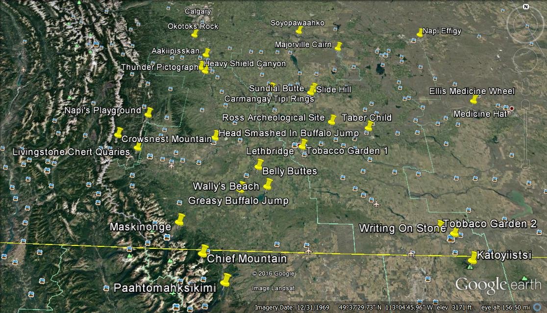
Blackfoot Pre-1850 Land Use Sites
Credit: Blackfoot Elders
Please note: Some sites are still in use and may be sacred and/or protected.
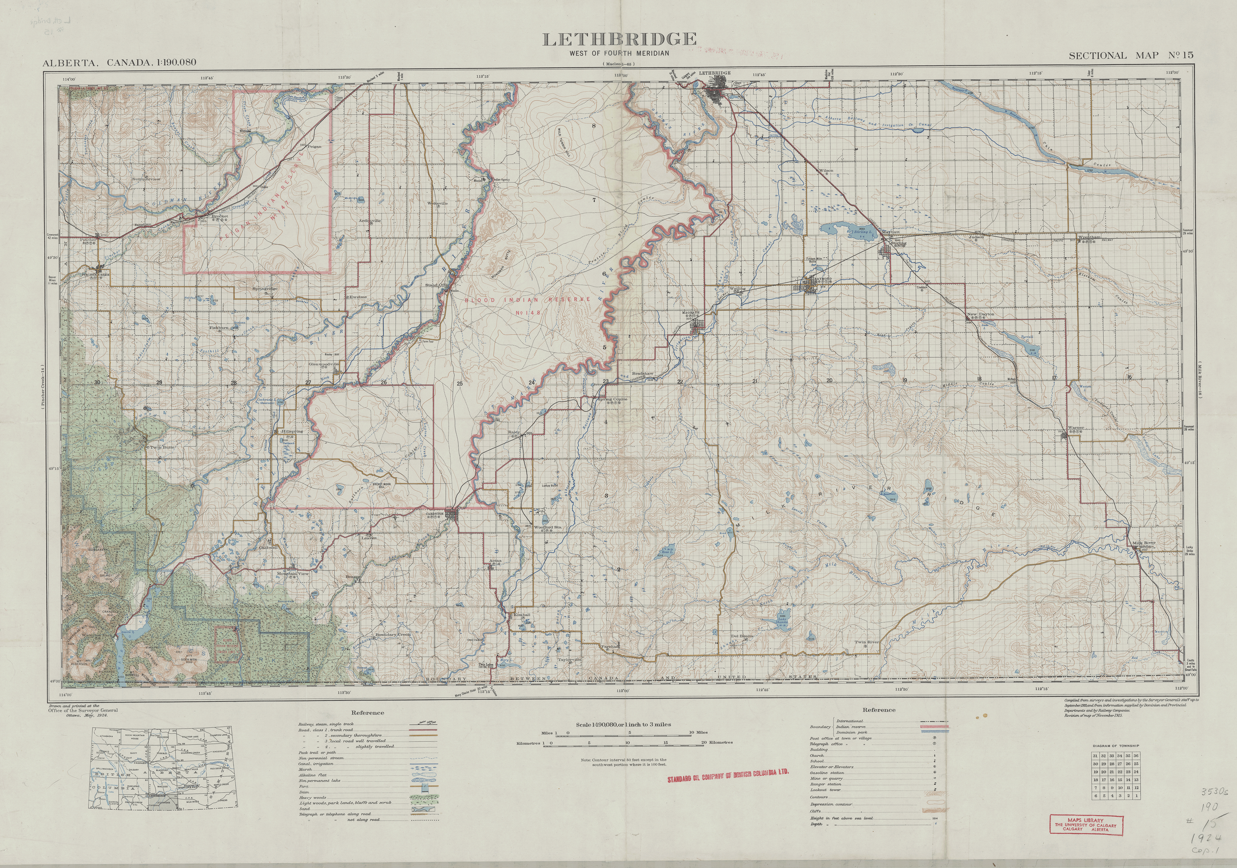
Lethbridge (1924)
Courtesy Spatial And Numeric Data Services (SANDS), University of Calgary and Jessica Theoret. Download High Res JPEG
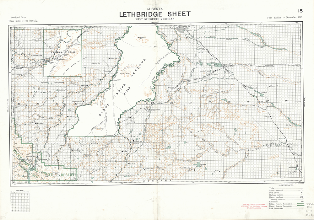
Lethbridge (1915)
Courtesy Spatial And Numeric Data Services (SANDS), University of Calgary and Jessica Theoret. Download High Res JPEG
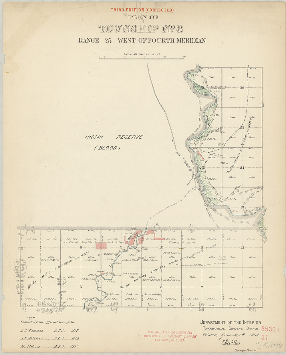
Plan of Township No.3
Courtesy Spatial And Numeric Data Services (SANDS), University of Calgary and Jessica Theoret. Download High Res JPEG
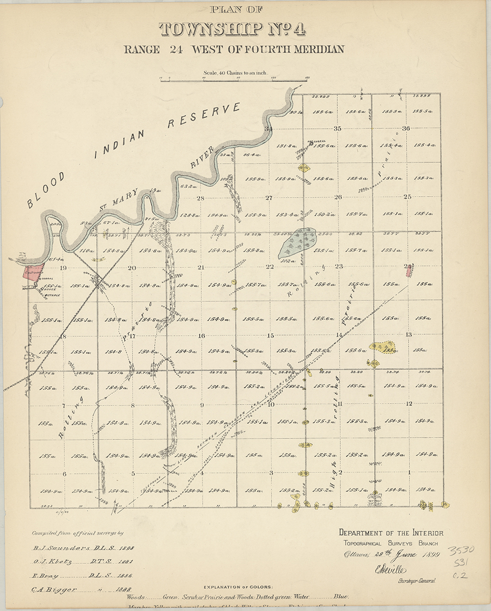
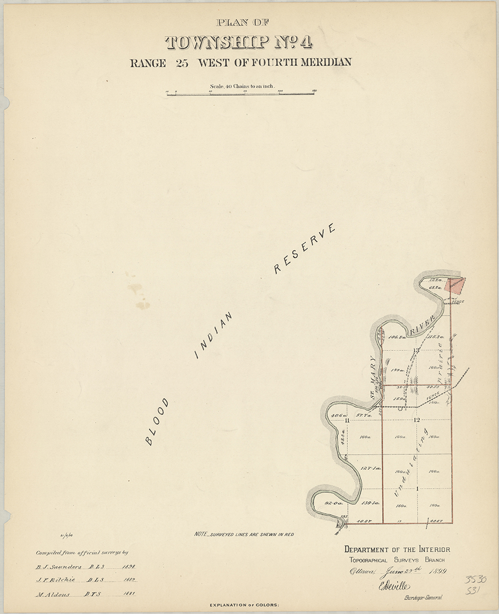
Plan of Township No.4
Courtesy Spatial And Numeric Data Services (SANDS), University of Calgary and Jessica Theoret. Download High Res JPEG
Plan of Township No.4
Courtesy Spatial And Numeric Data Services (SANDS), University of Calgary and Jessica Theoret. Download High Res JPEG
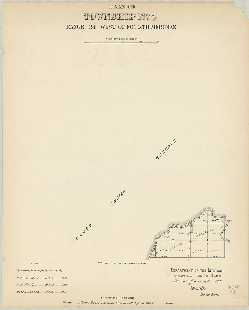
Plan of Township No.5
Courtesy Spatial And Numeric Data Services (SANDS), University of Calgary and Jessica Theoret. Download High Res JPEG
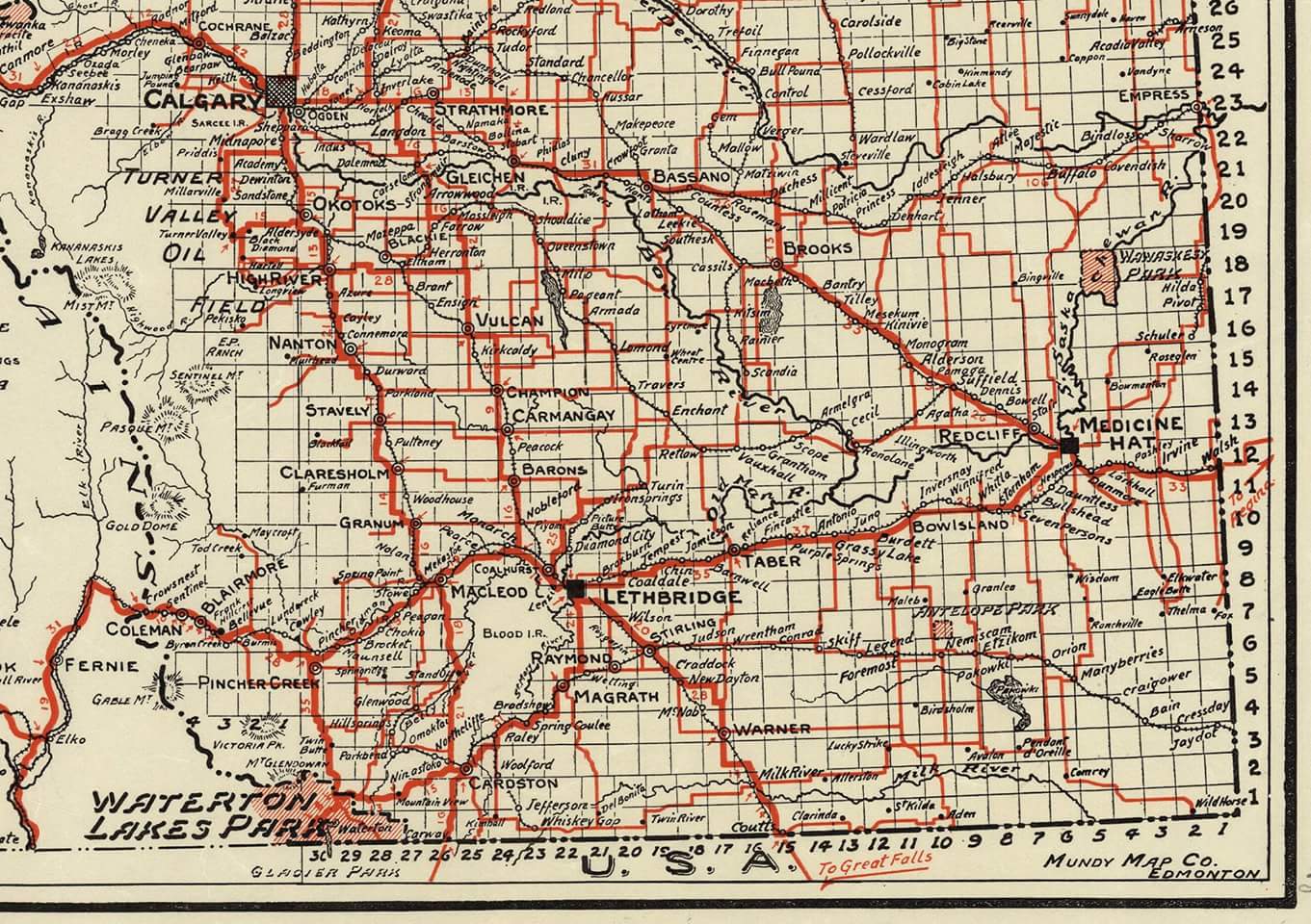
Southern Alberta (1937)
Mundy Map Co. Edmonton. Download Image
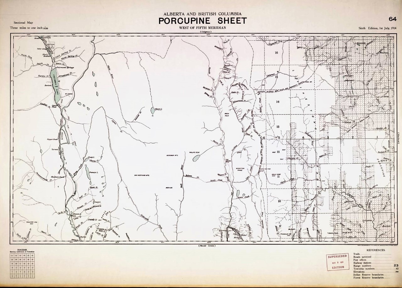
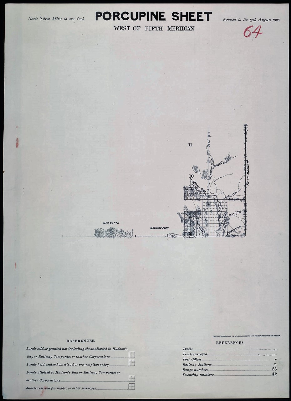
Alberta and British Columbia Porcupine Sheet
Porcupine Sheet West of Fifth Meridian