(Editor's note: Our first blog posting of the new year! What better way to start things off than to contemplate what, exactly, a watershed is. Not everyone knows the answer .... do you?)
OWC conducted a survey
that asked the public some general knowledge questions about our shared
watershed. What we found is that this knowledge isn’t general at all. 9 people
out of 10 could neither define the term watershed nor understand its
relationship to their environments.

I have spent a long time since
wondering why that is, pondering everything from our education system to
immigration to urbanization to economics and beyond. I was reminded of a class
I taught at the University of Hamburg on Human Geography, about how we connect
with and understand our physical world. What maps and which worldviews do we
use? What of geographical, political, social, economic and emotional maps, for example.
The earliest map I can recall is a freshly-Gestettnered copy of the political
map of Canada, which we would colour, every year, in our Social Studies class
from about Grade 5 through to Grade 10. Our provinces and (at the time) 2
territories, were carved out firmly in our minds.

Mentally
we have strong maps of our communities. As a Calgarian, my mental map of
Calgary extends beyond its municipal borders to include the outskirts and
proximal outlying towns, including the Bow corridor and into K-country and
Banff. Like many Albertans, I don’t have a mental map of the miles leading up
to the territories nor an understanding of the mountains north of Jasper or
south of Hinton. Until recently, I didn’t have a relationship to anything
further south than Lethbridge, and little contact with the towns I passed through on the way
there. Furthermore, as an urbanite, what I noticed and saw were human
populations – I lacked a basic vocabulary for rural and wild spaces or even the
ability to recognize or differentiate the nuances of the landscape I was
looking at. You cannot value what you cannot name.
So, as a social scientist and new to
southern Alberta, it was interesting for me to note that “community” here in
this region seems to extend from about Pincher Creek up along Highway 2 to Claresholm
and Nanton, then over to Vulcan and down to envelop all that farmland up to
Taber. The mental map doesn’t stop at the border, it extends down into Montana
to at least Grand Forks. There’s a trickle across the eastern border as well,
crossing over Medicine Hat into Saskatchewan and including that ranching and
farm land there, too. So there’s a kind of horizontal chunk within the southern
part of the province that crosses political boundaries but has little
connection to the western or easternmost flanks. Being agriculturally based,
there seems to be a greater mental representation of farmland, but generally
speaking, many people have an incomplete picture of other types of land use in Southern Alberta.

How about mapping demographically?
Southern Alberta is extremely diverse in this regard, as well. Just as a small
–and by no means comprehensive - sample, we have American Mormons, Dutch
Mennonites, Russian Dukabores, German Hutterites, Japanese Buddhists,
fundamentalist Christians, new-Agers; native Blood, Blackfoot, Peigan, Kainaii,
….. more recently, Indian, Korean and Bhutanese. Each of these belief and
cultural systems have their own maps and traditions for how we relate to one
another, to our selves and to our natural world. Our mental maps of a region
are vastly different than what a cartographer can describe.
Yet, no matter who we are or how we
live in southern Alberta, we all turn on a tap to get water, and, magically,
out it comes; crystal-clear and pure to drink. Hauling water for humans and
livestock is a mere 100 years ago – one lifetime is all it takes to erase that
toil from our minds – until the next flood comes and we are put on a water
advisory, that is. Suddenly, whether we are old or young; new Canadian or
aboriginal; farmer or urbanite; Catholic or atheist; suddenly, we all begin to
worry about water quality; and, ironically, water quantity.

The number and frequency of floods is
increasing as global warming takes an ever-stronger foothold. Just a few
degrees’ increase in temperature means less snowfall. Less snowfall means there
is no slow-release of water from the snowpack over the spring and summer. It
means that it rains instead. And when it rains, it pours - our freshwater
rushes through ancient floodplains and across farmland, carving new routes,
finding old ones and uprooting vegetation before swiftly exiting our landscape.
It means flood – and it means drought.
So the question: ‘What is a watershed?’
is going to become of increasing importance in the upcoming years. It will be a
word heard more often; and, when spoken, with more urgency.
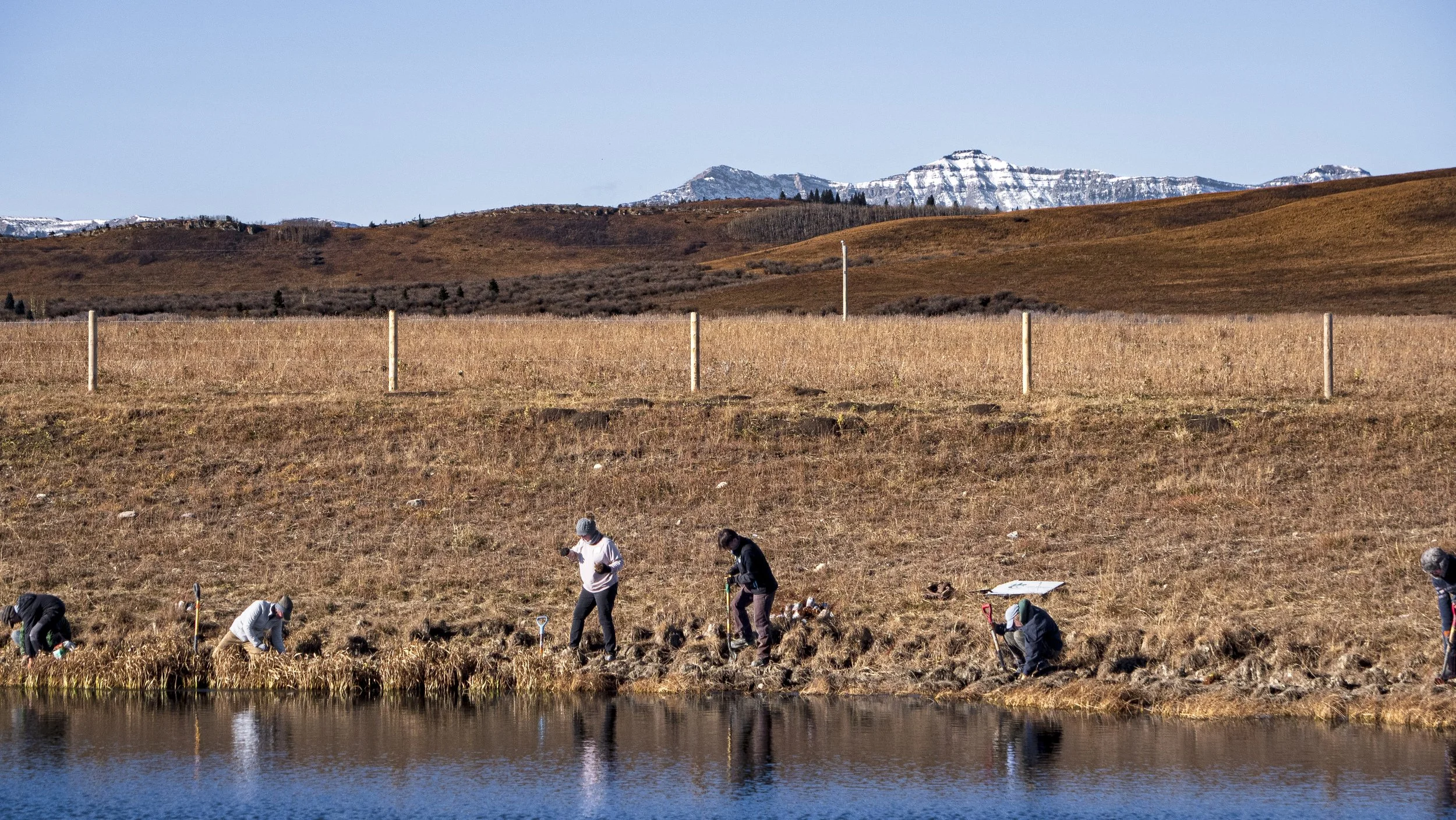
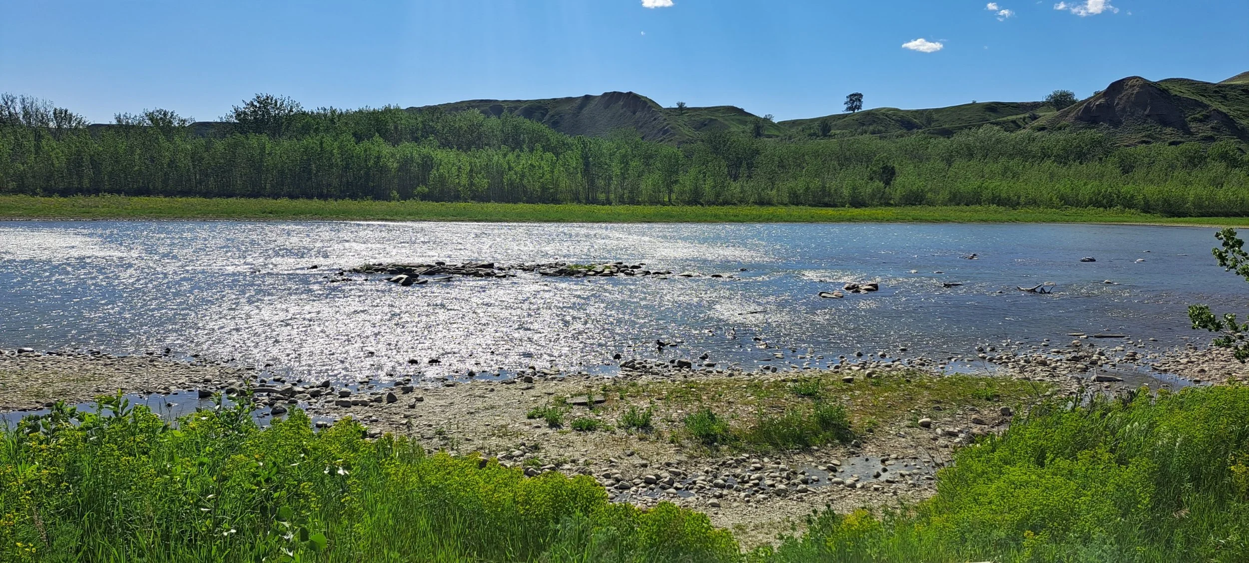
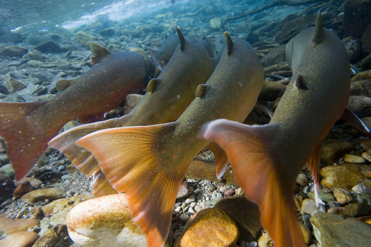
Our Oldman watershed, though smaller
than some of the other 11 watersheds in Alberta is nonetheless still vast. It
begins with the snowpack in the Rocky Mountains in the eastern slopes – an area
seldom seen and sparsely inhabited. The birthplace and cradle of the water of
life is a delicate nursery, one to be cherished and nurtured and protected. We
must be more thoughtful and more deliberate about our activities there, since
too often we don’t understand how we are affecting water quality downstream.
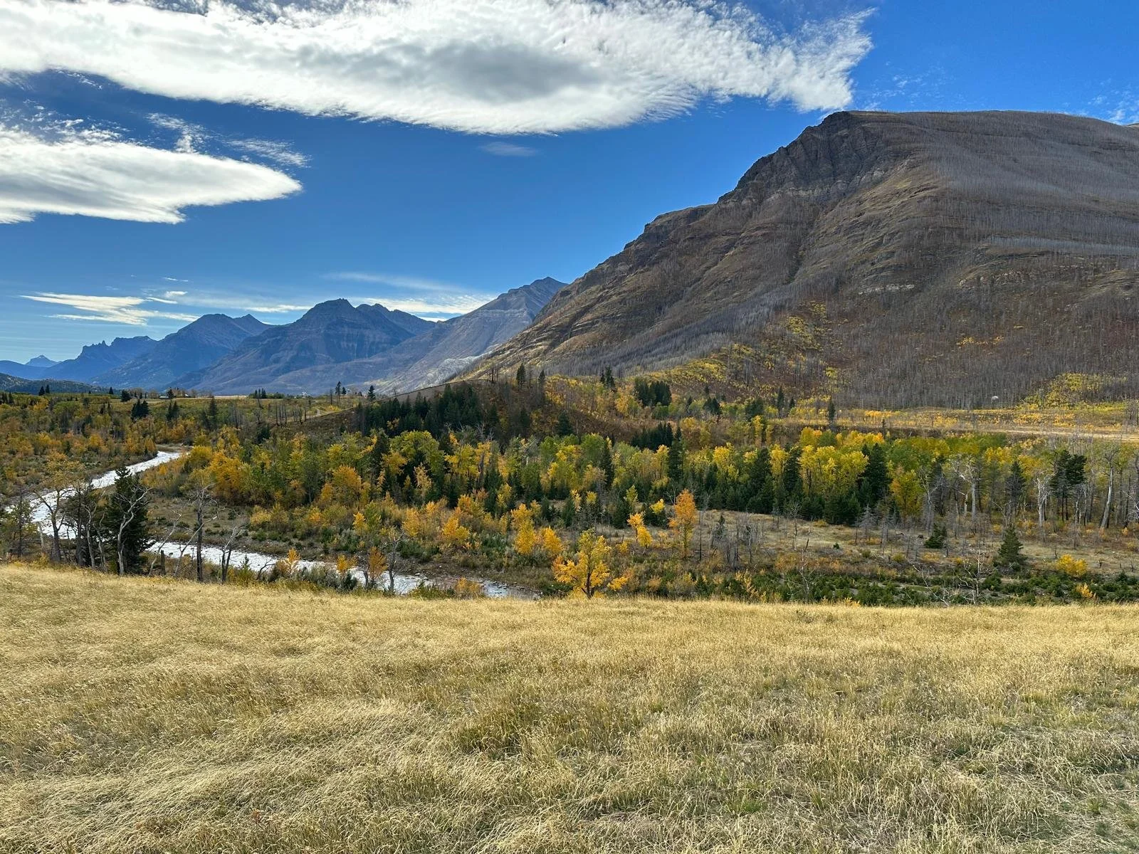
These many tiny mountain tributaries and underground springs along the eastern
slopes feed into stronger streams that flow up through and over a place,
tellingly, called High River; they also flow south through Waterton and
Lethbridge. They provide the drinking water for humans and animals, for
industry and agriculture, merging and flowing downhill as they meander ever
eastward. Many smaller rivers combine to make the South Saskatchewan- the
common exit point. This river then bends north – and continues downhill – to
cross the tip of Lake Winnipeg and finally exit into the Hudson’s Bay.

The watershed is a
map which shows our dependence on one another as opposed to mere spatial
relationships. It is the only map which will tell us that: “We are all
downstream”. A watershed is an area of land from which all moisture flows to a
common exit point. It includes how cities grow, how mountains crumble, where
airports are built and how mines are dug. A watershed is the trees that keep
the stream banks intact; it is the wildlife ecosystems that keep it healthy and
functioning. A watershed is the intuitive way to map both human and natural systems. Our watershed is what unites us.